Washington Counties Overview
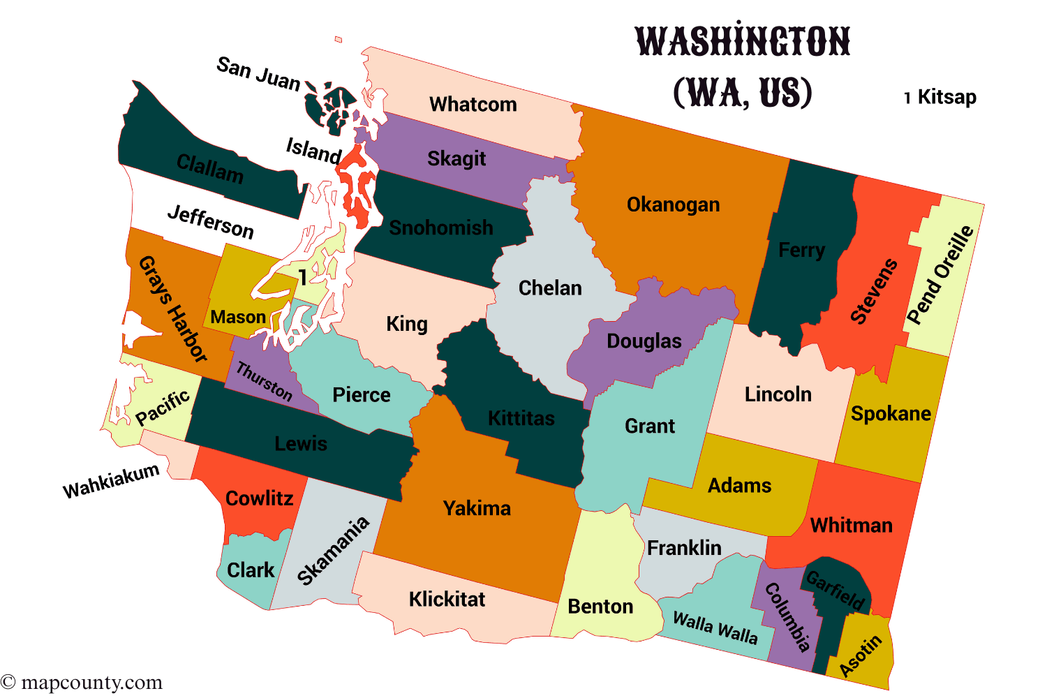
Counties are the most practical way to understand local geography and public services in Washington. The state has 39 counties. Each one has a county seat, and that seat is often where key records, courts, and everyday adminstration tasks are handled.
Understanding County Government In Washington
Washington counties are service organizers. They run things that need consistent coverage across city limits, and they support communities that are not inside any city boundary. If you live in an incorporated city, you still interact with the county for plenty of essentials.
- Elections and voter services
- Recording property documents (deeds, plats, and similar filings)
- County courts and related public records
- Public health coordination and permitting in many areas
- Roads, bridges, and maintenance in unincorporated areas
County Seat Means One Thing In Practice
The county seat is often where the main courthouse and administrative offices are centered. Even when a county has satellite offices, the seat is a reliable reference point for official addresses and record keeping.
- Checking recorded property documents
- Finding county-level permits and forms
- Looking up court calendars and office locations
- Confirming election office contact details
Cities, Towns, and Unincorporated Communities
Washington has a clear split between incorporated places and areas governed directly by the county. If you are comparing locations, this matters as much as the county name itself.
Short version: your county is always relevant, while your city status changes how services are delivered.
Regional Patterns Across Washington
When people say western and eastern Washington, they are usually describing a real-life divide shaped by the Cascade Range. It shows up in climate, travel routes, and settlement patterns, and it also changes how county maps feel in daily life. Not every county fits neatly into one box, but these groupings help.
Puget Sound and Nearby
- King, Pierce, Snohomish, Thurston
- Kitsap, Island, Skagit, San Juan
Coast and Peninsula
- Clallam, Jefferson, Grays Harbor
- Pacific, Mason
Central and Inland
- Chelan, Kittitas, Yakima, Okanogan
- Spokane, Stevens, Pend Oreille, Ferry
If you want a fast mental map, look for three anchors: the Coast, Puget Sound, and the Columbia River. Many county boundaries and travel routes make more sense once those are familiar.
Practical Ways to Use County Information
County-level details are useful because they stay stable. ZIP codes can cross city lines, neighborhoods can be informal, and mailing names can be confusing. Counties are a steady reference point.
- Property research: recorded documents, parcel maps, and boundary checks
- Permits: many permits depend on whether a location is inside or outside a city
- Local services: elections, courts, health departments, and public works
- Planning: comparing regions when moving, studying, or scouting business areas
Quick Checklist For Finding the Right County
- Start with the address and confirm the city status (incorporated or unincorporated).
- Identify the county boundary on a map and match it to the county name.
- Use the county seat when you need a main office location.
- For forms, pick the county first, then refine by city or community.
Common Questions About Washington Counties
Do Counties Change Over Time
County lines and names are generally stable. That’s why counties are a strong choice for evergreen reference, especially when you compare places across years.
Is My Mailing City Always My Actual City
Not always. Mailing labels may use a recognized place name for convenience. For services and records, the key is whether you are inside an incorporated boundary and which county you are in.
Why Do Some Counties Feel Very Large
Washington has dense urban areas and wide-open rural regions. Some counties cover big stretches of mountains, plateaus, or shoreline. It’s normal for distances to feel different depending on the side of the Cascades you are on.
More USA County Maps
- South Dakota County Map with Cities and Towns [SD, US]
- South Carolina County Map with Cities and Towns [SC, US]
- North Carolina County Map with Cities and Towns [NC, US]
- North Dakota County Map with Cities and Towns [ND, US]
- Wyoming County Map with Cities and Towns [WY, US]
- Wisconsin County Map with Cities and Towns [WI, US]